

You're now following
Error following user.
This user does not allow users to follow them.
You are already following this user.
Your membership plan only allows 0 follows. Upgrade here.
Successfully unfollowed
Error unfollowing user.
You have successfully recommended
Error recommending user.
Something went wrong. Please refresh the page and try again.
Email successfully verified.

skopje, macedonia
It's currently 7:30 PM here
Joined September 3, 2012
1 Recommendation
Pavle J.
@jovanovpavle
6.2
6.2
100%
100%
skopje, macedonia
100%
Jobs Completed
100%
On Budget
100%
On Time
40%
Repeat Hire Rate
Software Developer and GIS Specialist
Contact Pavle J. about your job
Log in to discuss any details over chat.
Portfolio
Portfolio
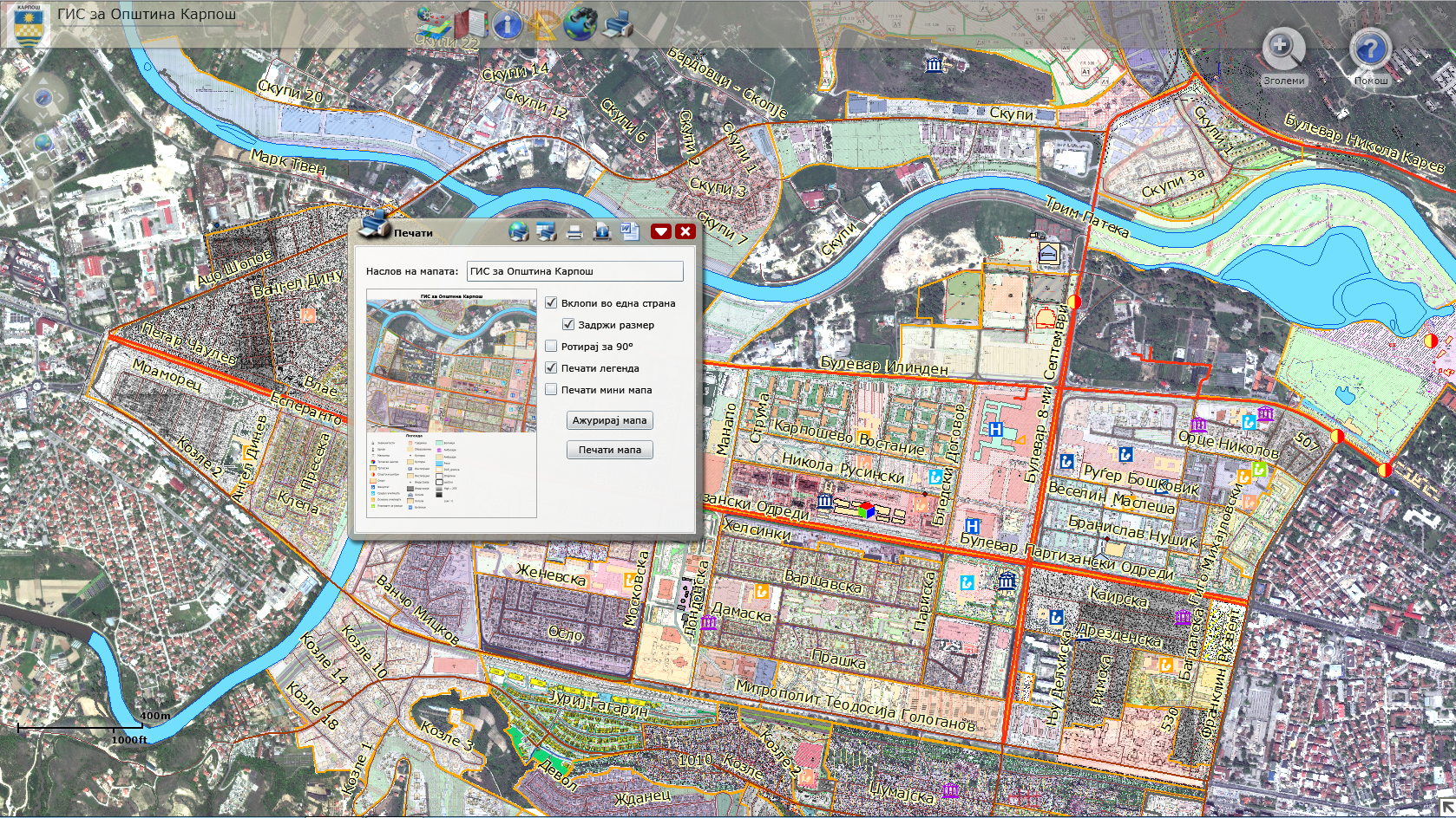

Municipality Karposh
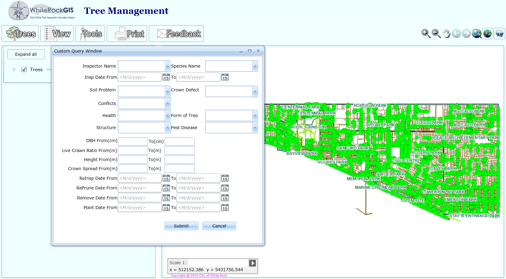

Tree Management White Rock


Geodados City 2013
Municipality Karposh
Tree Management White Rock
Geodados City 2013
Reviews
Changes saved
Showing 1 - 5 out of 13 reviews
$1,000.00 USD
HTML5
Bootstrap
JSON
Geographical Information System (GIS)

•
$100.00 USD
.NET
SQL
C# Programming
Silverlight
HTML
+1 more
D

•
$1,500.00 CAD
C# Programming
Silverlight
W

•
$1,155.00 CAD
.NET
C# Programming
Silverlight
W
•
$222.00 USD
.NET

•
Experience
Sofware Engineer and GIS Specialist
Oct 2009 - Present
Education
Faculty of Electrical Engineering and Computer Science
(4 years)
Qualifications
Using ArcMap in ArcGIS Desktop 10
esri
2012
ArcGIS 10 brings many enhancements to ArcMap that help you produce and share better maps faster. In this course, you will learn about key new features that are designed to reduce the time spent on common mapping tasks and improve the quality of your map products. In the presentation you learn how you can take advantage of these new features to enhance your day-to-day workflows. In the hands-on exercise, you get practice using the new features.
Getting Started with GIS (for ArcGIS 10.1)
esri
2012
If you are curious about what the acronym "GIS" stands for and what a GIS actually is, this course provides the answers. You will be introduced to the basic components of a GIS and some fundamental concepts that underlie the use of a GIS. As you practice working with GIS maps and geographic data, you will learn how a GIS helps people visualize and create information that can be used to make decisions and solve problems.
Getting Started with GIS (for ArcGIS 10)
esri
2012
This course provides a foundation for understanding what a geographic information system is and the possibilities it offers for discovering patterns, relationships, and trends. You will learn how GIS maps are different from other types of paper and digital maps, what makes the data used in a GIS unique, and how to use GIS software to obtain information and create meaningful maps. In interactive exercises and activities throughout the course, you will work with ArcGIS software and see how a GIS supports problem solving in many different contexts.
Contact Pavle J. about your job
Log in to discuss any details over chat.
Verifications
Certifications
Top Skills
Browse Similar Freelancers
Browse Similar Showcases
Invite sent successfully!
Thanks! We’ve emailed you a link to claim your free credit.
Something went wrong while sending your email. Please try again.
Copy to clipboard failed, please try again after adjusting your permissions.
Copied to clipboard.
Loading preview
Permission granted for Geolocation.
Your login session has expired and you have been logged out. Please log in again.