

You're now following
Error following user.
This user does not allow users to follow them.
You are already following this user.
Your membership plan only allows 0 follows. Upgrade here.
Successfully unfollowed
Error unfollowing user.
You have successfully recommended
Error recommending user.
Something went wrong. Please refresh the page and try again.
Email successfully verified.

raoued, tunisia
It's currently 9:51 AM here
Joined August 1, 2016
0 Recommendations
Makhlouf R.
@GeoSpatialServ
5.4
5.4
100%
100%
raoued, tunisia
84%
Jobs Completed
94%
On Budget
94%
On Time
12%
Repeat Hire Rate
GIS Consultant & Web GIS Developer
Contact Makhlouf R. about your job
Log in to discuss any details over chat.
Portfolio
Portfolio

Map design

Map design


Web mapping
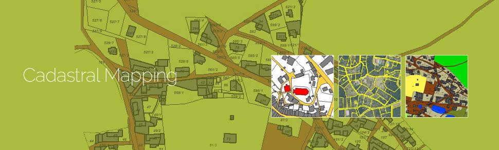

Cadastral mapping Services
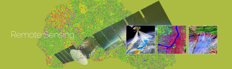

Remote sensing services
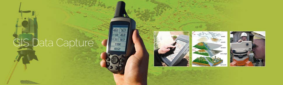

GIS Data capture
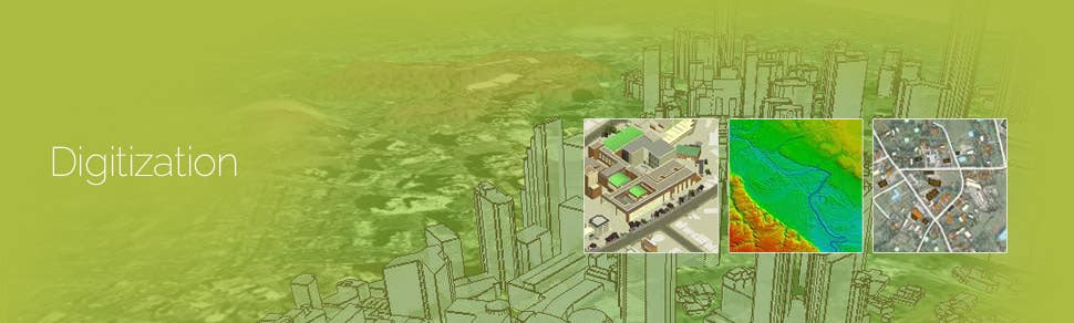

Digitization services
Map design
Map design
Web mapping
Cadastral mapping Services
Remote sensing services
GIS Data capture
Digitization services
Reviews
Changes saved
Showing 1 - 5 out of 30 reviews
£150.00 GBP
JavaScript
Cartography & Maps
Geolocation
Node.js
Geospatial
A

•
$30.00 USD
JavaScript
Data Entry
Excel
Google Maps API
Google Sheets
D

•
£450.00 GBP
JavaScript
Python
HTML
Flask

•
$250.00 USD
Cartography & Maps
Geolocation
GPS
Geospatial
JSON

•
$250.00 SGD
Python
Geographical Information System (GIS)
Pandas

•
Experience
Geosptail Analyst
May 2009 - Jun 2019 (10 years, 1 month)
*Design and create web portals, interfaces, and content.
*Utilize open source web mapping portal environments and databases.
*Uses GIS program packages (ESRI ArcGIS, QGIS) to input, edit, prepare and produce various maps
*Gathering, entering, and analyzing data, including manipulating data and cleaning up data sources
*Analyze data sets for daily decision-making procedures.
*Create, develop, and maintain spatial databases.
*Use maps and data sets for spatial analysis.
Education
Master Degree Geomatics, land & planning
(2 years)
Diploma of University Studies in GIS
(3 years)
Contact Makhlouf R. about your job
Log in to discuss any details over chat.
Verifications
Certifications
Top Skills
Browse Similar Showcases
Invite sent successfully!
Thanks! We’ve emailed you a link to claim your free credit.
Something went wrong while sending your email. Please try again.
Copy to clipboard failed, please try again after adjusting your permissions.
Copied to clipboard.
Loading preview
Permission granted for Geolocation.
Your login session has expired and you have been logged out. Please log in again.