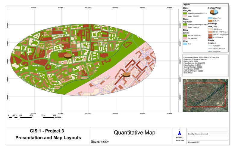
Quantitative and Qualitative Maps
by mwhammad


Using ArcGIS
About Me
Based on Berlin-Germany, Experience in GIS Field, Geodesy, GNSS, Civil, and Construction Engineering. I have done projects with Network Analyst, Spatial Analyst, GPS Monitoring and Web Mapping, geodetic Networks, GPS Monitoring, and analysis, Remote sensing and microwave Radar data. I Work with ArcGIS, QGIS, ArcPy, PostGIS, AutoCAD 2D & 3D, OpenLayers, Python, Databases, geocoding, georeferencing and geoprocessing, ModelBuilder. Please check my profile in GIS Stack Exchange: [login to view URL]

